

Il tracciato del progetto
Una base tecnica per la lettura e la comprensione del territorio del Cilento con finalità esclusivamente informative, conoscitive e progettuali . Il sito sarà progressivamente aggiornato con informazioni operative e di dettaglio al completamento delle attività di verifica e strutturazione del cammino.
The Project Route
A technical framework for understanding the Cilento territory. This route is intended as a technical and analytical framework for interpreting the Cilento territory, with exclusively informational, research and planning purposes.
The website will be progressively updated with operational and detailed information following the completion of verification and structuring activities of the route.

Un approccio unico alla scoperta del territorio
Il Tracciato del progetto Le Sette Sorelle del Cilento si caratterizza per il metodo con cui è stato costruito.
Non si tratta di servizi o esperienze preorganizzate, ma di un processo basato sull’integrazione di dati cartografici aperti, analisi territoriale e fotointerpretazione.
Il tracciato mette in relazione viabilità minore, sentieristica esistente e punti di interesse culturale e religioso, delineando un sistema coerente tra paesaggio, comunità e tradizioni.
Rappresentazione del tracciato
L’immagine rappresenta il tracciato nella sua configurazione generale, elaborata a fini di studio e sviluppo del progetto.
A methodological approach to the territory
The Seven Sisters of Cilento project route is defined by the methodology through which it has been developed.
It does not represent pre-organised services or experiences, but a process based on the integration of open cartographic data, territorial analysis and photointerpretation.
The route connects minor road networks, existing paths and cultural and religious points of interest, outlining a coherent system linking landscape, communities and traditions.
Route representation
The image represents the route in its general configuration, developed for study and project development purposes.
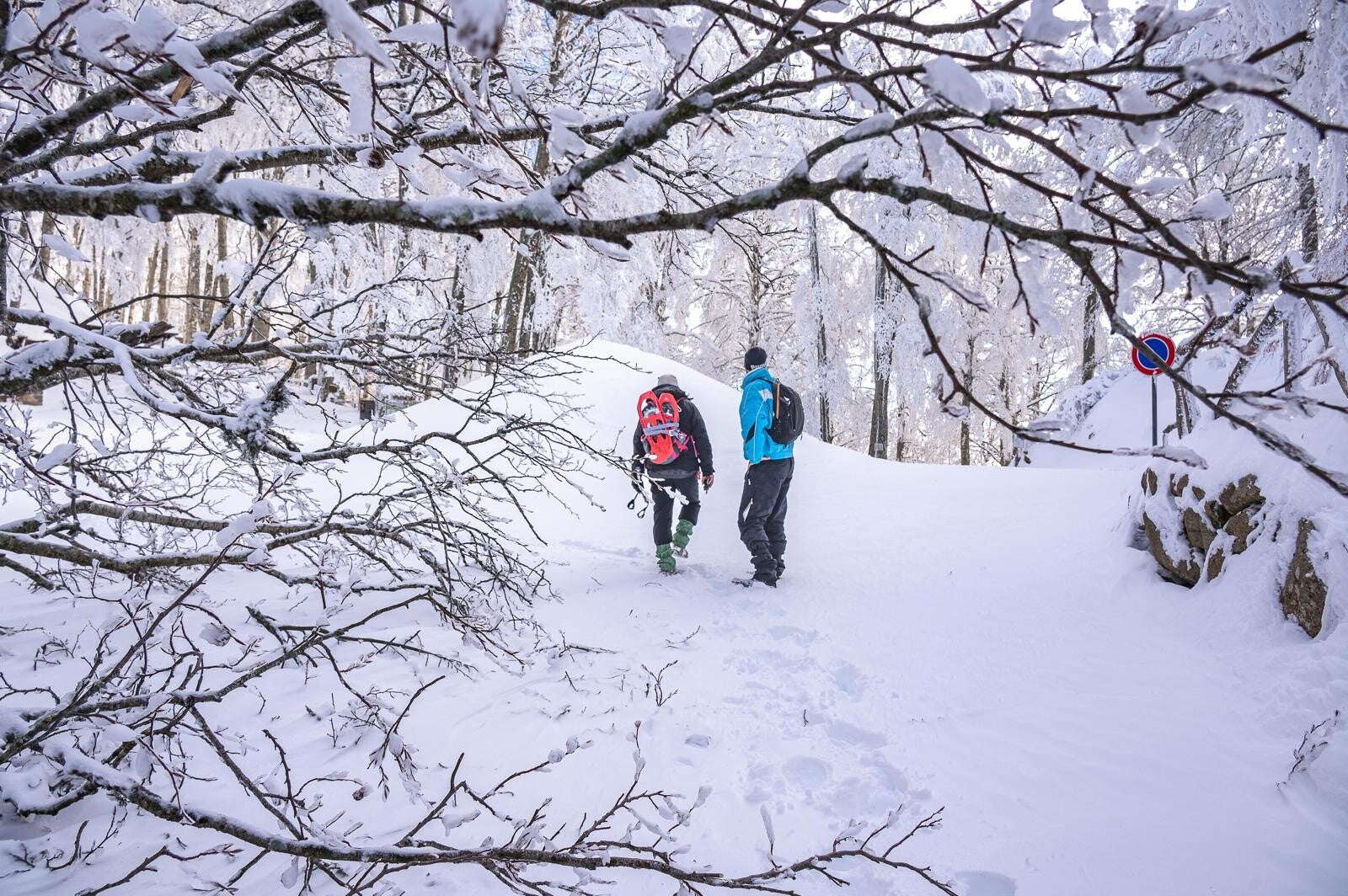
Per chi è stato pensato il tracciato?
Il Tracciato del progetto non è rivolto al turista tradizionale, ma a soggetti interessati alla comprensione del territorio.
Si rivolge in particolare a:
- studiosi, tecnici e operatori della pianificazione territoriale
- enti locali, associazioni e realtà impegnate nella valorizzazione culturale
- appassionati di cartografia, cammini e paesaggio
Who is this route intended for?
The project route is not aimed at traditional tourists, but at individuals and organisations interested in understanding the territory.
It is particularly intended for:
- researchers, planners and professionals in territorial planning
- local authorities, associations and organisations involved in cultural enhancement
- individuals interested in cartography, walking routes and landscape
Comprendere e valorizzare il Cilento
L’obiettivo non è generare emozioni immediate, ma favorire una percezione consapevole del lavoro svolto e del territorio.
Il tracciato consente di cogliere le relazioni tra paesaggio, sentieristica e comunità, evidenziando come elementi esistenti possano essere letti come un sistema unitario.
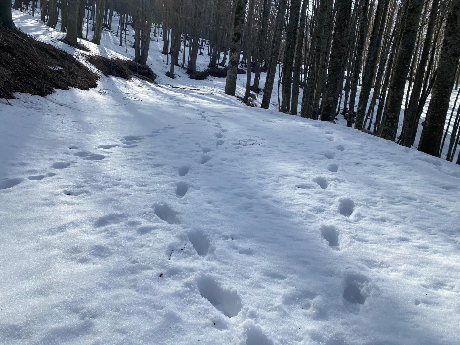
Stato del tracciato
Il tracciato rappresenta una base progettuale in evoluzione.
L’effettiva percorribilità dei singoli tratti dovrà essere verificata attraverso attività di rilievo sul campo, con particolare attenzione alle condizioni dei sentieri, alla sicurezza e ai punti di attraversamento dei corsi d’acqua.
Il percorso non è, allo stato attuale, ufficialmente segnalato.
Understanding and enhancing Cilento
The objective is not to generate immediate emotional responses, but to foster an informed and conscious understanding of both the work carried out and the territory itself.
The route allows the relationships between landscape, paths and communities to be understood, highlighting how existing elements can be interpreted as part of a unified system.
Current status of the route
The route represents an evolving project framework.
The actual walkability of individual sections must be verified through on-site surveys, with particular attention to path conditions, safety aspects and water crossings.
At present, the route is not officially signposted.
Contribuisci alla sua evoluzione
Dopo la consultazione del tracciato, è possibile approfondire il progetto e seguirne gli sviluppi. Il tracciato costituisce una base di lavoro aperta, destinata a essere progressivamente verificata e strutturata nelle fasi successive. Per ulteriori informazioni o per eventuali collaborazioni è possibile utilizzare i contatti indicati nel sito. Le informazioni presenti nel sito hanno finalità esclusivamente conoscitive e progettuali.
Contribute to its development
Following the consultation of the route, users may explore the project further and follow its development. The route constitutes an open working framework, intended to be progressively verified and structured in subsequent phases. For further information or potential collaboration, please refer to the contact details provided on the website. All information available on this website is provided for informational, research and planning purposes only.

Gelbison al tramonto
Gelbison at Sunset
Video realizzato con drone da Cristiano Giordano: un suggestivo volo al tramonto sul Santuario del Monte Gelbison, simbolo spirituale e paesaggistico del Cilento.
Drone video by Cristiano Giordano: an evocative sunset flight over the Sanctuary of Mount Gelbison, a spiritual and scenic landmark of Cilento.